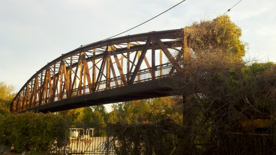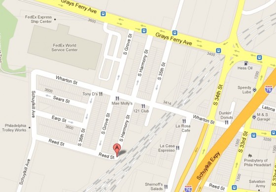
In Forgotten Bottom, a barely reachable corner of the city, a mysterious and impassible pedestrian bridge from ages past looms over the neighborhood. In the tiny enclave of rowhomes trapped between the Schuylkill River, Grays Ferry Bridge/Ave., and a massive freight train trench, lies a piece of Philadelphia from an earlier age.
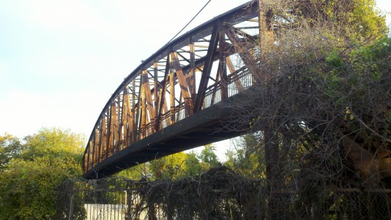
In the (very) early 20th Century, when this neighborhood first developed, there were concerns about access to this tiny district. A highway overpass already existed at Wharton Street but the rest of the area was still relatively inaccessible from the east. It was decided in 1915 that a pedestrian bridge should be built that would connect Reed Street on either side of the B & O Railroad tracks. $12,500 was set aside to build the 8 foot wide, 174 foot long steel truss span ($204K in today’s dollars). At the time, it was the tallest bridge over the B&O tracks at 21.8 feet.
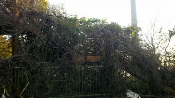
Back then, if you were going to build something, you made it look GOOD. This bridge, which was only intended to serve a small trickle of pedestrian traffic, is beautifully designed and executed. Almost 100 years later, it still looks pretty strong. Records are spotty on when this bridge went out of use. The 1942 WPA Land Use Map doesn’t acknowledge it and all of the other archives and websites about bridges seem to ignore it. The eastern terminus of the bridge is no longer Reed Street, but a private commercial property. The stairway up to the bridge is still extant on the west side, though covered in plant life. The growth seems to be the only thing attempting to cross the bridge these days.
Its a shame to see a perfectly good bridge just sitting there rotting away. Wonder if it could ever be transported to another spot in the city that needs a pedestrian bridge? Maybe it can be moved over to the Reading Viaduct if and when it’s made into a park? Or perhaps if a foot bridge needs to be built between some buildings somewhere? That would be pretty cool.
–GroJLart, philaphilia.blogspot.com


Leave a Reply