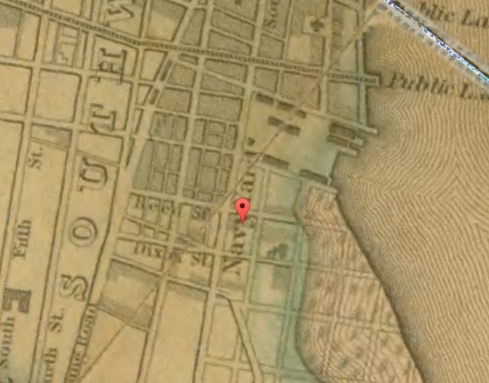
The southwest corner of Front & Reed is decidedly inconspicuous today. Standing at the edge of a quiet residential part of Southwark, it would hardly strike one as a once fertile complex of retail and industrial buildings. But Front Street in Southwark was part of quite a different neighborhood before builders plopped I-95 right in the middle of it. Indeed, in the mid-19th Century, this block stood opposite the bustling Navy Yard, as shown in the image here below, taken from Charles Ellet, Jr.’s Philadelphia County map.

Not shown in the map is the Savery & Co. Iron Foundry, which was built on the spot two years prior. The photo below, taken from the Library Company of Philadelphia, offers an 1847 sketch of the complex at the time.
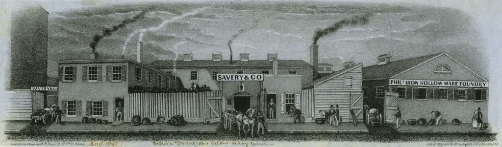
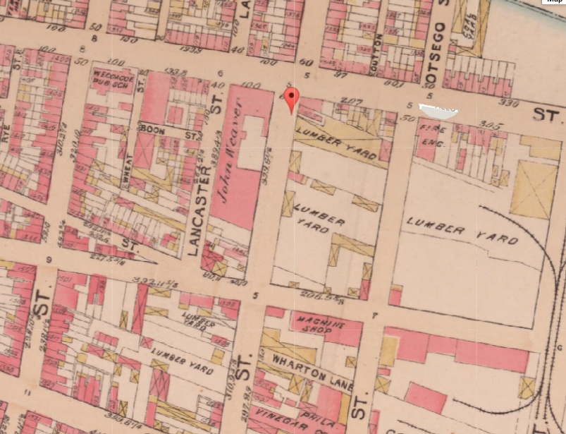
The image here shows the foundry as well as the sheds and shops connected to it. Though the Navy Yard was relocated to League Island in 1871, the Foundry remained in operation into the late 19th Century, standing opposite a Gas Works and, thereafter, a lumber yard. However, by the turn of the century, the building was occupied by one John Weaver. While we aren’t certain what Weaver did here, the image here from G.W. Bromley’s Philadelphia Atlas says he was doing it in 1895.
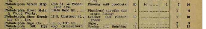
By the middle of the 20th century, the site once occupied by the Foundry had been split into two parcels. These were used by Sheet Metal & Wood Works on the corner and, in the middle of the block, the Southwark Wholesale Grocery Co. The Third Industrial Directory of Pennsylvania, from 1919, confirms that Philadelphia Sheet Metal & Wood Works was listed at 108-110 Reed Street.
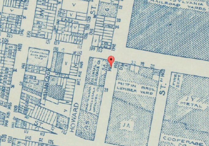
Though the Wholesale Grocery remained, Sheet Metal and Wood Works was gone by 1948. According to Open Corporates, Colonial Salvage & Scrap Co. moved in and listed their building at 100 Reed Street. Colonial is shown in the image below, taken from the Works Progress Administration’s 1962 Land Use Map.
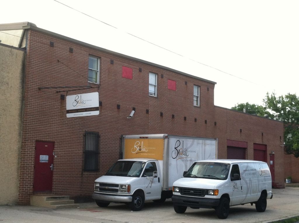
By the late 1960s, all that existed directly across the street from Colonial Salvage was destroyed by the all-consuming construction of I-95. But today, if you stand beneath the highway, you can see the current occupant of the frequently-changing corner site, the Brulee Catering company.